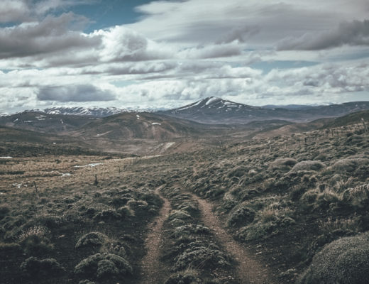
I felt excited for the first time in a long time. The Argentinian steppe was behind me and I was on an epic gravel road heading to snowy mountains on the horizon. In 100km I would be back in Chile and probably in totally different scenery. First I just needed to get across the remote border crossing of Paso Rio Mayer. By all accounts it could be crossed only after a dry period, when the many rivers in the area could be forded safely. However, the river crossings were eventually not the biggest challenge.
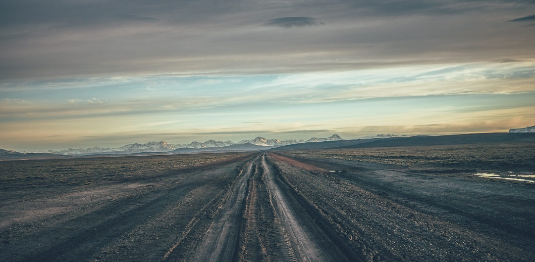
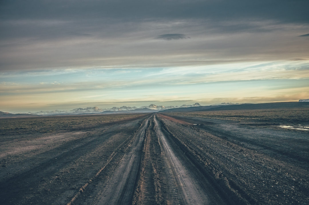
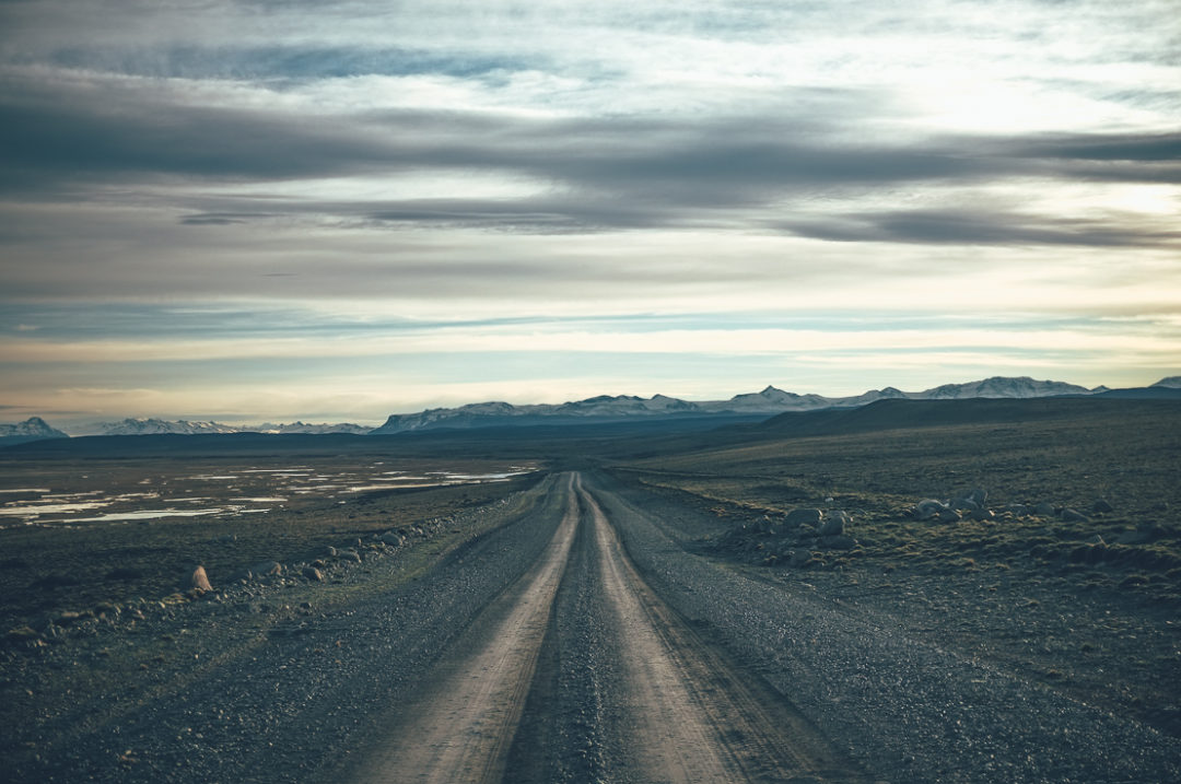
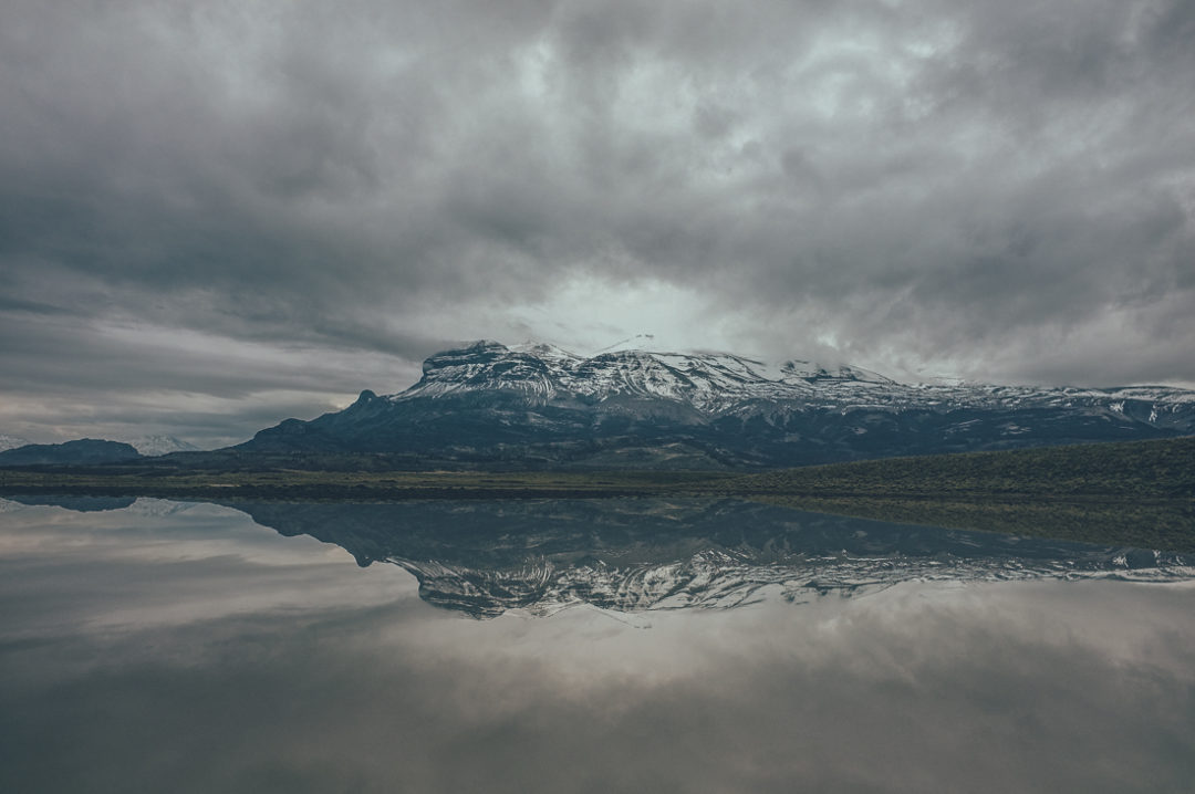
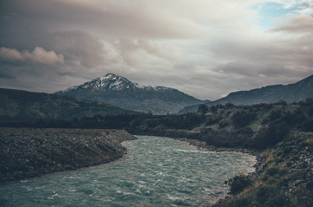
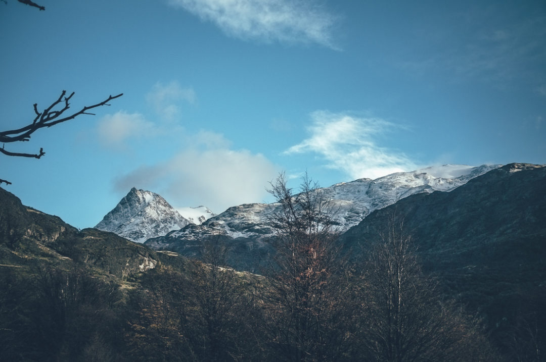
Snowy mountains in the horizon were my direction when riding toward Paso Rio Mayer from the Ruta 40 in Argentina.
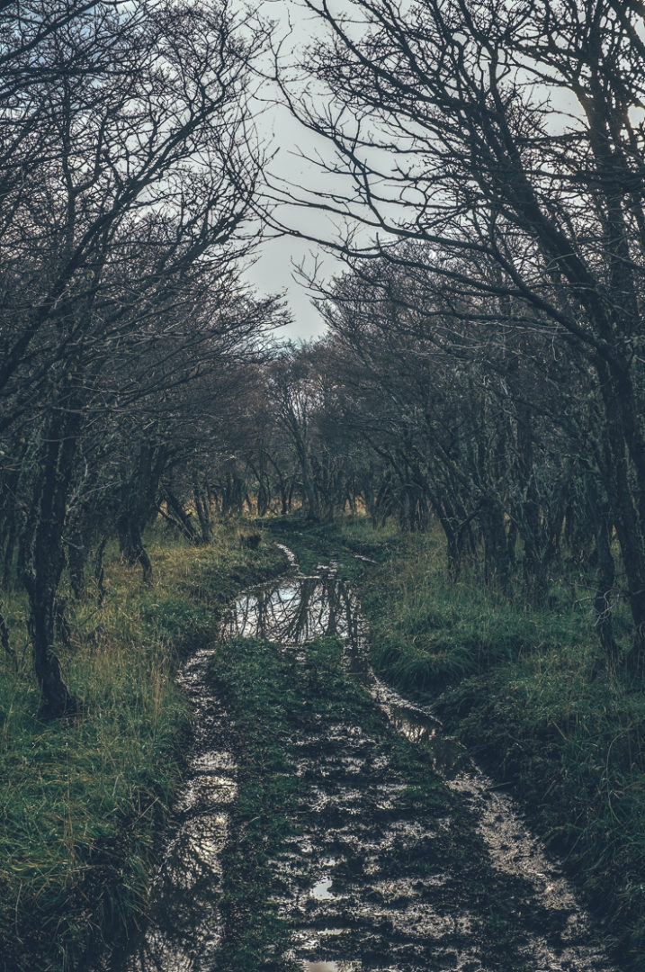
I had noticed that Argentina tries to stop people going to Chile by simply not building proper roads to the border. This had been the case multiple times: a perfect road on the Chilean side ends at the official border and continues as a dirt track on the Argentinian side. But Ruta 35 to Paso Rio Mayer and Chile took this to another level. I could not believe I was on the road to an international border crossing. I checked my GPS to confirm that I was on the right road. I was riding in 15cm deep car tracks on frozen and partly dried mud for long sections. When not muddy, the road was rocky and bumpy.
A pickup without an engine cover rode toward me. I had just enough time to get off the road, before the car flew by me. It must have been driving more than 50km per hour on that mud track! Soon another pickup without an engine cover appeared on the horizon and similarly passed me at incredible speed. Why the speed? Why no engine cover? I was not on Ruta 40 anymore, that’s for sure.
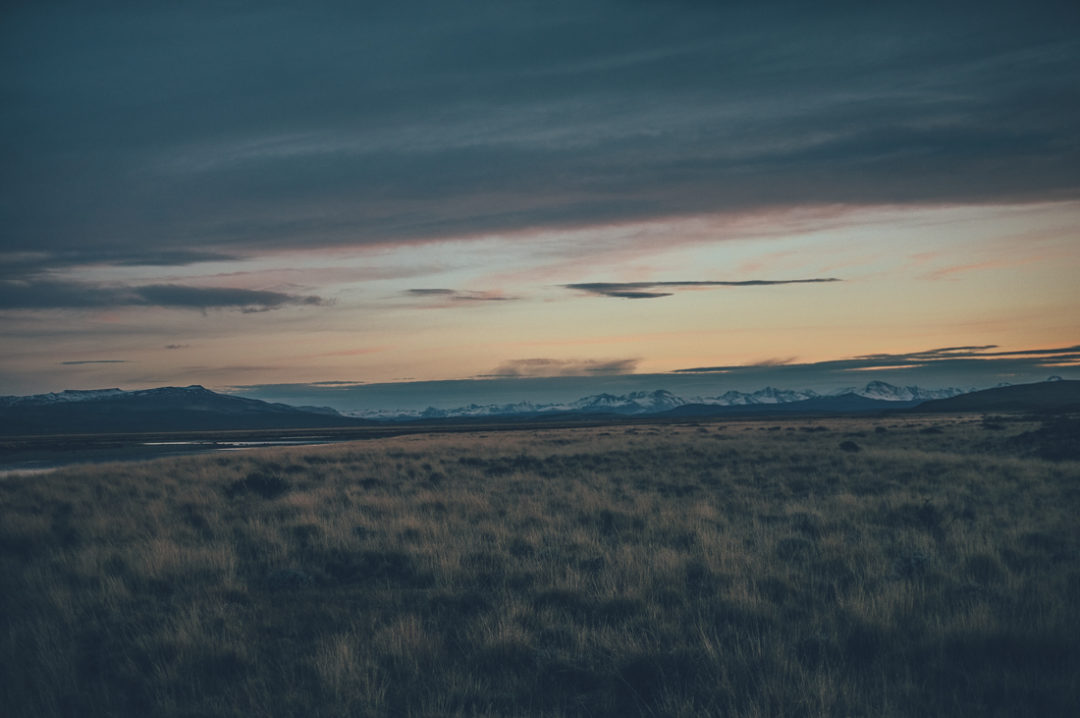
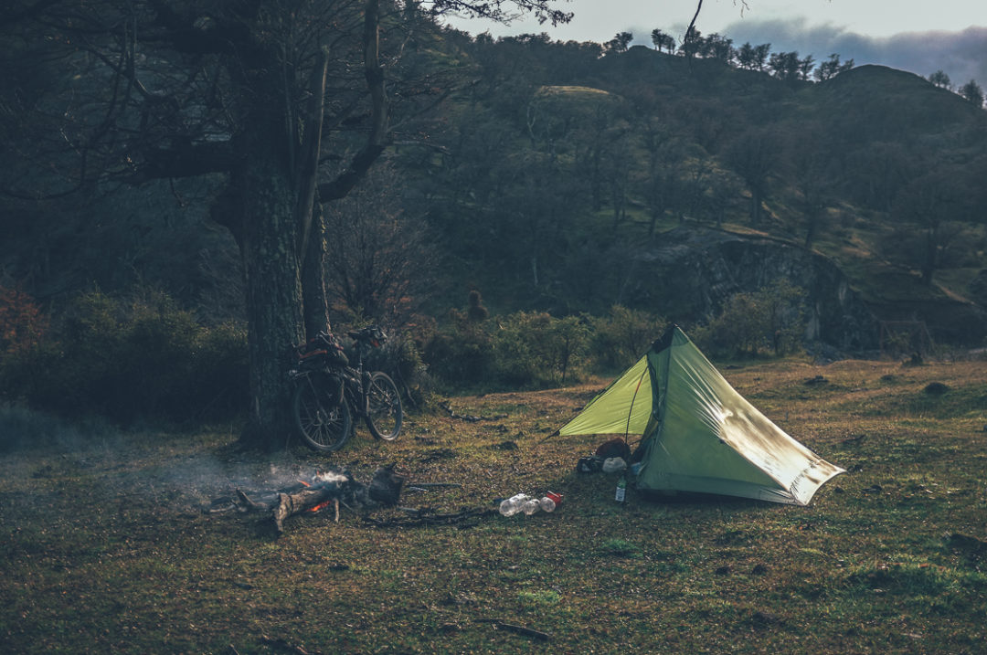
I camped by the river I would follow the next day into Chile and made a big campfire in the moon light. The humidity from the river and rapidly dropping temperature had turned my tent completely white by the time I crawled into my sleeping bag. Fly sheet, mesh, ropes, and everything inside the tent was covered with a film of shiny ice crystals, which sparkled in moon light. In the morning sun I dried my gear, while preparing pasta with cheese and olive oil for breakfast. The road went west, which usually meant a vicious headwind, but during the night the wind had turned and was now at my back. Riding with a tailwind in the sun put a big smile on my face.
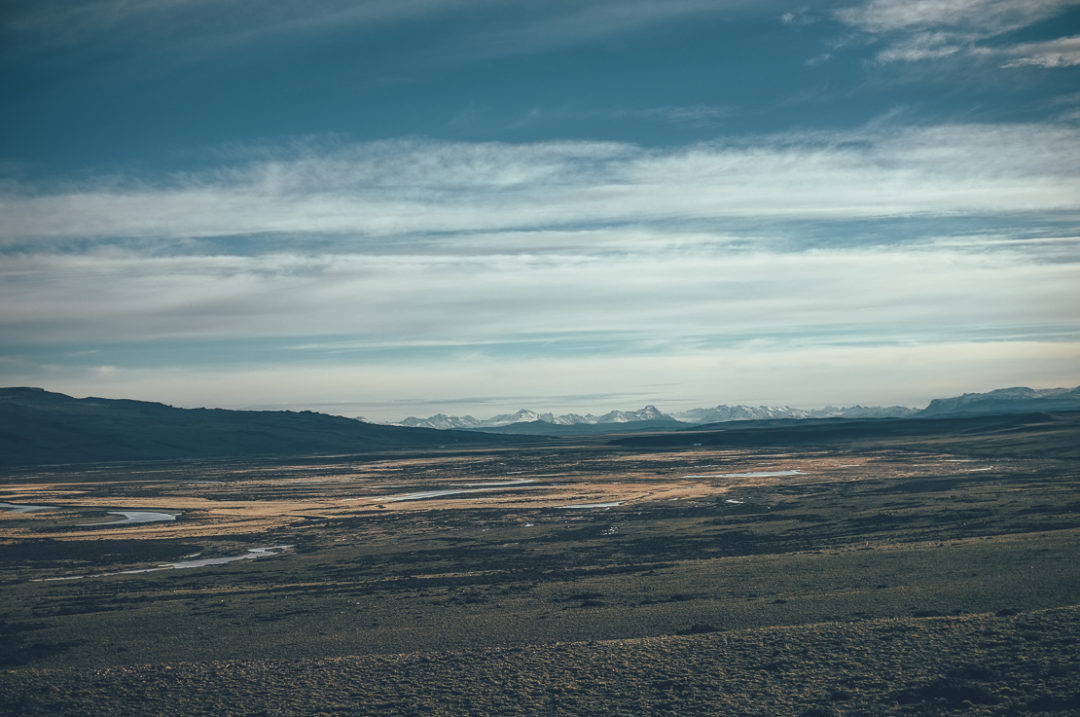
The Ruta 35 to Paso Rio Mayer and Chile.
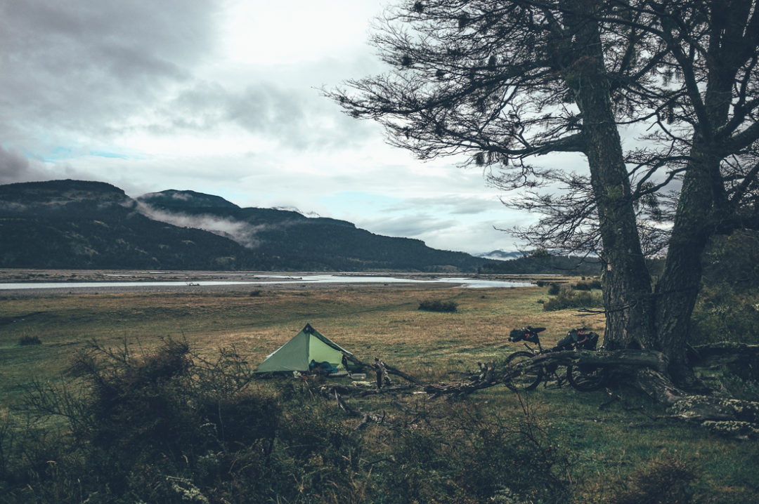
Late in the afternoon I came to the valley where the steppe ended and the mountains started. The road began to climb the foothills, but there was no indication of a real ‘pass’ in the scenery ahead. Fair enough, I thought, there is a river mentioned in the name of the pass. A small turquoise river flowed in the valley, inviting me to get out my fly fishing gear. A short session in three different pools got me two beautiful rainbow trout, or ‘rosados’ as they are called here. The fish were completely silver, with small black spots and a faint reddish-pink line on their sides flashing in the sun. Catch and release. I made a campfire and cooked more pasta with cheese and olive oil for lunch on the river bank, feeling extremely satisfied by the fact that finally I had caught fish. I camped just a couple of kilometres from the Argentinian border station, giving me more time to get across the mystical Paso Rio Mayer next day.
Camping just a few kilometres from the Gendarmerie de Argentina.
Before getting to the 15km no man’s land at the Paso Rio Mayer, the Argentinian border officials fed me beef stew, pasta and red wine. Nobody had passed the border for days and they appeared happy to feel useful again. They asked me if I was carrying any drugs and played really disappointed when I said no, laughing afterwards. I asked their guidance about the following 15km section of trail into Chile. I thought I got pretty good tips, but once on the trail, I realised that these guys had not stepped on this zone in their life. The first tip brought me to a dead end. I should have just followed the double-track, the most obvious route choice. Where else could it lead but Chile? After dragging my bike over one barbed wire fence I was on the double track, which was wet but mostly rideable. After the second river crossing I changed to riding with sandals and rolled up my trousers . It was only a couple of degrees above zero and the rivers were cold, but at least it was sunny. The area was incredibly pretty with glaciers up in the mountains and forests mostly old and untouched.
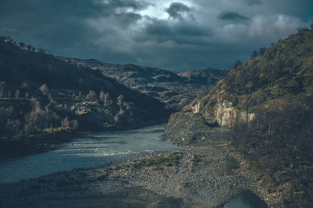
Most of the route across no man’s land at Paso Rio Mayer from Argentina to Chile was rideable, but occasionally wet, double-track. Rivers were only knee deep, which made crossings fairly easy.
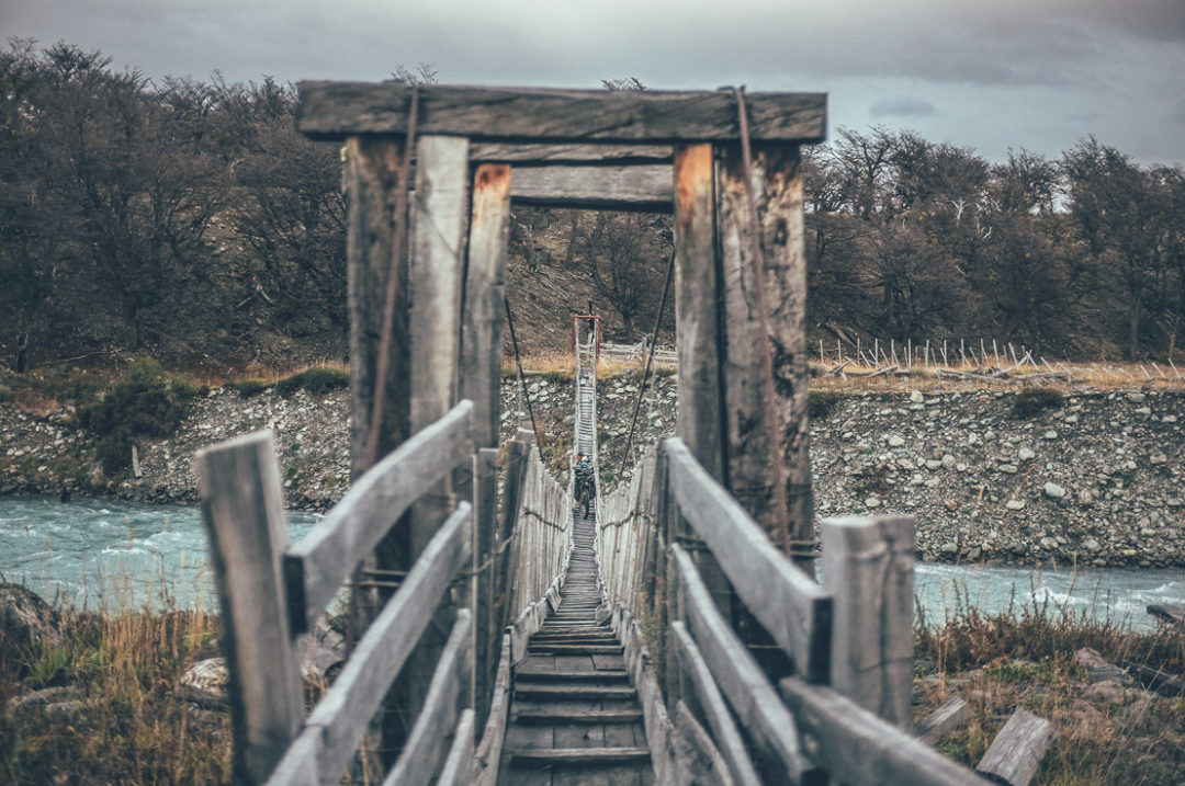
I really thought I would be nailing the Paso Rio Mayer, until I passed a narrow suspension bridge and the trail divided inseveral directions. Which one to take? Until this point I had used my GPS only a couple of times to check if I was going in the right direction. There were two trails on my map leading to the same spot, a shorter one and a longer one. I chose the shorter one, only to find the trail totally disappeared after 20 metres. It was an animal trail. Still trusting in technology and believing there would be a proper trail somewhere, I pushed my bike deeper and deeper into the bushes. Every now and then I thought I found the trail, only for it to disappear again. I considered turning back, but the short distances fooled me to keep going in the direction my GPS told me to. The next river was just a kilometre away. I stared blankly at my compass and GPS and forged on towards the river. the bushes were not high, but they were thick. Moving the bike forward took force, avoiding the thorn bushes needed agility. A bike with any wider panniers would have had serious difficulties getting through here. After 45 minutes in the bushes I had progressed one kilometre and managed to find a bigger, continuing trail again.
Crossing Paso Rio Mayer from Argentina to Chile, the trail disappeared after this bridge. What I thought to be an easy ride proved to be a struggle later on. I got lost despite having GPS in my hand and knowing the destination. After the bridge I was not much in the mood to take my camera out.
The trail came to a patch of wetland and a small river. I waded in and pushed my bike for 100 meters, assuming that I was going in the right direction. Dead end. I walked 50 metres back and found another trail. Dead end. Third trail. Dead end. I soonto the realisation that I was in a real life maze. I was 900 metres from the Chilean border control according to my GPS, but I was knee deep in something brown in a watery labyrinth. I laughed aloud, ‘international border crossing’, indeed. The sun set and I admitted to myself that I was lost despite knowing my exact location and where I should get to. Most of the trails ended in high bushes or waist deep swampy water. Just before it got pitch dark I tried one more trail, which eventually got me on dry land.
I followed the trail until I got to a fairly new-looking two metre high fence, barbed wire on top. The trail continued straight, but the new fence stopped me getting to the gravel road just 5 metres away on the other side. I could see the lights of the border station, but the fence trapped me in no man’s land. Footprints on the ground gave no clue where I should go next. I walked a couple of hundred metres along the fence in the dark, but had to accept that there was no going through or over this fence with my bike. I walked far into the woods along the fence until I found a section in the fence that I could partly break with the wire cutters of my multitool and then bend down to get my bike over. After one more river crossing I finally reached the end of no man’s land, and the Chilean border control at 7.30pm.
The border official did not blink an eye when I arrived, as if I had just stepped off a tourist bus to get my passport stamped. It took them 15 minutes to start the computers and another 15 minutes to find ink to stamp my passport. I was the fourth cyclist to across the Paso Rio Mayer in 2017. I wonder how the others made it through the no man’s land. While waiting for getting stamped to Chile, a drunken gaucho, who was spending evening with the border officials, excitedly invited me to sleep in an empty wilderness hut a kilometre away. I thanked him for the offer and politely replied ‘kissas’, maybe, and rode into the night, planning to get as far away from the bloody border as possible.
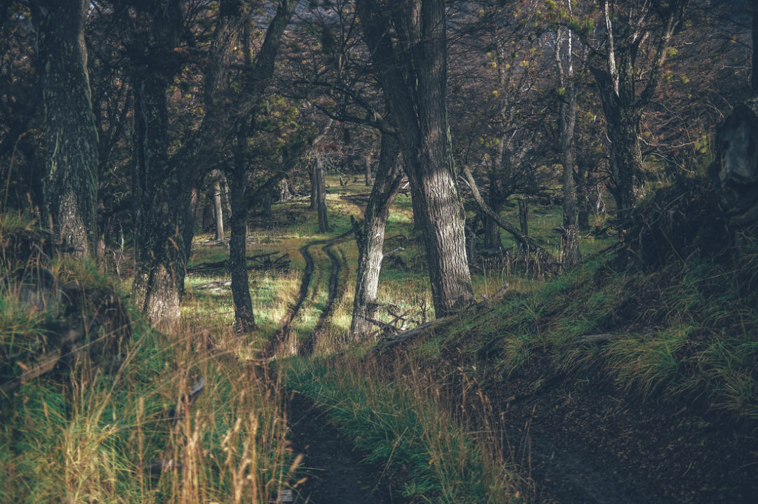
First night camping in Chile after crossing Paso Rio Mayer. Finally I was properly inside the Cordillera Los Andes.
Postscript: Now I know how the other cyclists got through. A Brazilian cyclist Freitas made it through fairly cleanly, but two Columbians were forced to leave their bikes in the wetlands and collect them with Chilean border officials the next day. What an insane border crossing! Why is the route not marked in no man’s land? Why does my map show non-existent or inaccurate trails? Why are the wetlands such a f….ng maze?! Why the new fence to block the trail? The relationship between Argentina and Chile is not the sweetest, but how hard could it be to mark a route through no man’s land and make the Paso Rio Mayer better serve the purpose it exists for: crossing from one country to another? I will never take easy access across a no man’s land for granted again.
THE ROUTE
On Ruta 35, the gravel from the Ruta 40 to the Paso Rio Mayer is occasionally rough, but the real challenge can be the mud during the first half from the direction of Ruta 40. The mud was deep and I only made it through easily because it was partly dry, partly frozen. In places the car tire tracks were 15cm deep. 2.5s were bliss, but it should be doable easily with 2 inch tires as well.
The Paso Rio Mayer is said to be accessible only after a period of dry weather due to the many river crossings. However, all the seven or eight rivers I crossed were not really big at all and I waded at most knee deep carrying my bike. When the level of these rivers rises, it would make the crossing much more unpleasant, but probably still doable as the biggest crossings are slow flowing. There is one big river, Rio Carreras to cross on the route, but cyclists and walkers can use the narrow suspension bridge to get across. Surely with a horse, that river crossing would be very dangerous, even when I saw it after a couple of rainless days. Is that the river the local people are referring to when talking about the river level?
No man’s land is a mess (see above). I tried to record a GPS track, but it turned off half way through. The route marked on the map between Rio Carreras and the Chilean border control is not the one I did, but the best guess where the continuous trail might be. Based on accounts of Nicholas Gault and Gürkan Genç, the route seem to be much more obvious crossing from Chile to Argentina, than from Argentina to Chile.

